জিআইএস পরিসেবা
Geographical Information System (GIS) Unit of Survey of Bangladesh has started generating digital Topographic Database of entire Bangladesh from Photogrammetric products based on the recent aerial photographs and satellite imageries and verified by ground survey.
A seamless Geo-Database of entire Bangladesh along with sheet wise Cartographic Databases are also being produced. The strengths of SOB GIS product are its inbuilt precision, better resolutions, dependability and usability- blended with more than 250 years of map making experiences. It will definitely influence the potential user’s Area of Interest (AOI) for better visualization, military planning and engineering applications including, but not limited to internet portals, wireless telecom and other nation building activities. It also offers enterprise geospatial information for all range of users starting from different governmental departments/agencies to even private researchers. GIS services will definitely remove redundancy, duplicity and data creation time in many folds thus reducing the overall cost of the products of respective users. This product will be our gate way to National Spatial Data Infrastructure (NSDI) for Bangladesh as a whole.
Geo-database:
It is expected that a seamless database for the whole country will be available at the end of the project period. However users may feel convenient to identify their AOI fromMap Index of respective scale (e.g. 1:25,000 and 1:5,000) map sheet and be sure about its availability from this office. GIS product will be served sheet wise for smaller job and seamless data of the whole country to the Governmental departments and other non-government agencies basing on the existing policy. The user may download the required forms here for GIS products and may check its prices in the catalog.
Basic Information
- Metadata: Specification: ISO 19139.
- Projection System:
- Reference Ellipsoid: WGS84
- Grid Name: BUTM2010.
- Datasets for 1:25,000 and 1:5,000 Geo-database: Following each dataset contains number of feature classes and its associated subtypes:
- Administrative Boundary
- Building and Structure
- Facilities
- Forest
- Geodetic Control Point
- Hydrographic Feature
- Industrial
- Relief
- Transportation
- Vegetation
- Attribute Data: Basing on geometry of a feature few data like length/perimeter and area are generated automatically while others like feature name (e.g. name of government offices, educational institutes, health center/hospitals, hydrographic features like haor, river name etc.), width of the roads/bridges etc. are collected during field survey. Since the product is based on 3D photogrammetric data, hence each vertexes of each feature type (i.e. Point/ Polyline/ Polygon) has specific elevation above MSL.
Click For Details of GIS Data Layers
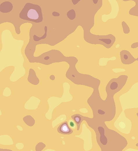
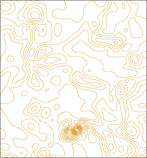
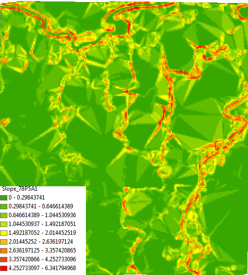
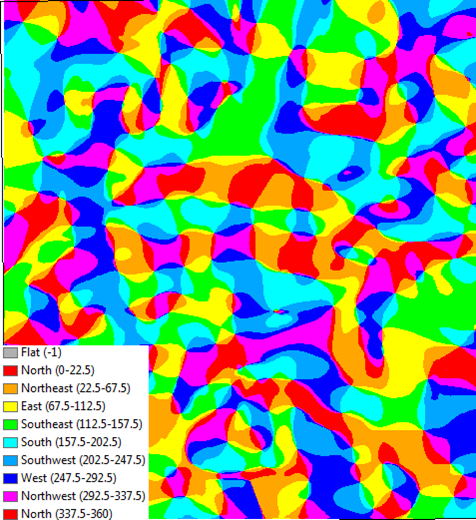
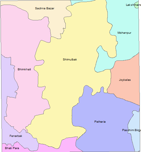
Some Glimpses of Expected GIS Output of SOB Products:
SOB GIS product will provide the primary and very basic data for the potential users in order to help them develop their own GIS. Existing SOB GIS products can help user to visualize the ground more realistically then before and thus helping him to make appropriate decision in time.
|
|
|
|
|
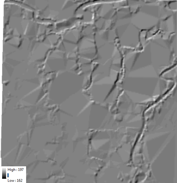
Hill Shading |
DEM Generation |
Contour Generation |
|
|
|
|
|
Slope Generation |
Aspect Generation |
Thematic Maps |
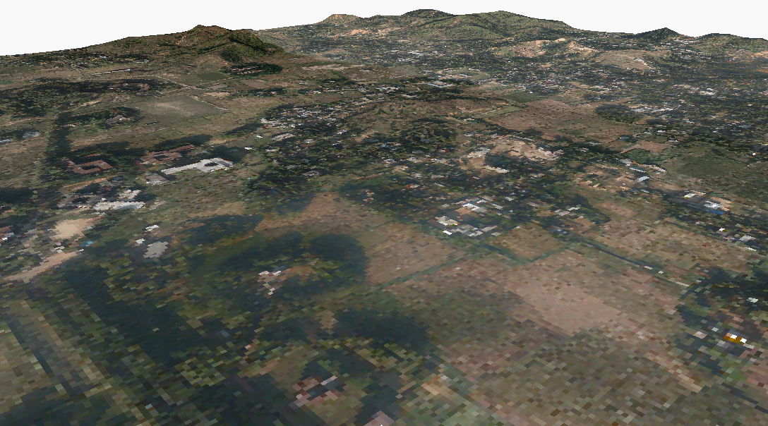
Moreover it also helps one to conduct first hand analyses like proximity analysis, network analysis and other engineering projects of 3D value related tasks.
|
|
|
|
|
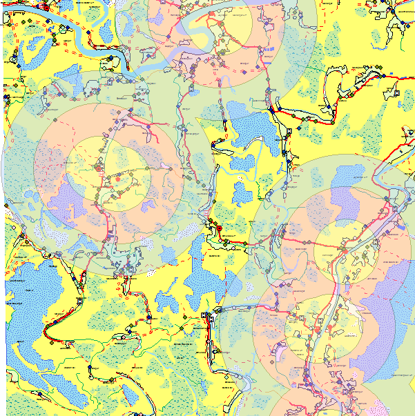
Proximity Analysis |
EIA |
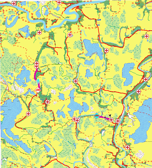
Network Analysis |