

সামরিক বাহিনী ও অন্যান্য
There will be many beneficiaries from the products of digital maps. Only few are mentioned below:
Local Government Engineering Department (LGED): Digital Topographical Base Maps and Database can be effectively used for the planning and construction of road infrastructure throughout the country. DEM and contours can be used in a side range of applications.
Department of Land Records and Survey: Topographical maps along with contours and geodetic control network can be very useful for preparation of International Boundary Strip maps for border demarcation.
Roads and Highways Deparment (RHD): Topographical maps along with DEM can effectively be used by RHD for Road Network planning and infrastructure development. Topographical maps will be used for basic information for land acquisition. DEM can be successfully used road alignment and CUT and FILL assessment.
Department of Environment (DOE): Thematic maps on conservation of natural resources and Land use can be produced by DOE by using IDMS products. Deforestation, contamination of surface water, natural calamities, intrusion of salinity, unplanned urbanization, discharge of untreated sewage and industrial wastes, etc. can be better addressed by using digital topographic maps and database.
Water Development Board (WDB): Digital topographic Map and Database can be used for water modeling and flood control activities. DEM and contours will play an important role in water resource management system.
Department of Forest: Thematic maps on Forest and vegetation along with satellite imageries can be effectively used for natural environmental development through forestation program. Orthophotos of Sundarban, Chittagong Hill Tracts and other forest areas will help better management of forest resources of Bangladesh and in the field of biodiversity conservation.
Department of Meteorology: Digital base will help making weather forecast chart. Precise data from permanent GPS stations can be used for monitoring the plate tectonic movement of earth. More over, GPS data processed by Bernese software can be used for assessing the inospheric condition and quality of air. Tide observation data will help in assessing the global warming also.
Department of Relief and Rehabilitation: DEM of disaster prone areas will help in assessing the damage of catastrophe. Use of topographical maps and DEM will ease the selection of relief distribution points, mobilization of relief and rehabilitation of effected people more efficierilly.
BTTB & Mobile Companies: Topographical maps and DEM will be useful for planning of installation for radio relay stations throughout the country. Topographical maps can be effectively used for tower locations and determination of coverage zone.
Armed Forces: Can plan and demonstrate operations/war games using digital maps. DEM would be very useful for planning of radio relay stations. Bangladesh Air Force can use digital map for flight simulation. Digital topographic maps and databases are useful tools for terrain analysis and decision making process. Digital BAF charts would be very helpful for flight plan.
Bangladesh Police & RAB: Digital maps for vehicle navigation system of crime prone zones are very effective tools for criminal tracking. Road network map along with DEM would be useful for finding criminal and subjects.
সার্ভেয়ার জেনারেল
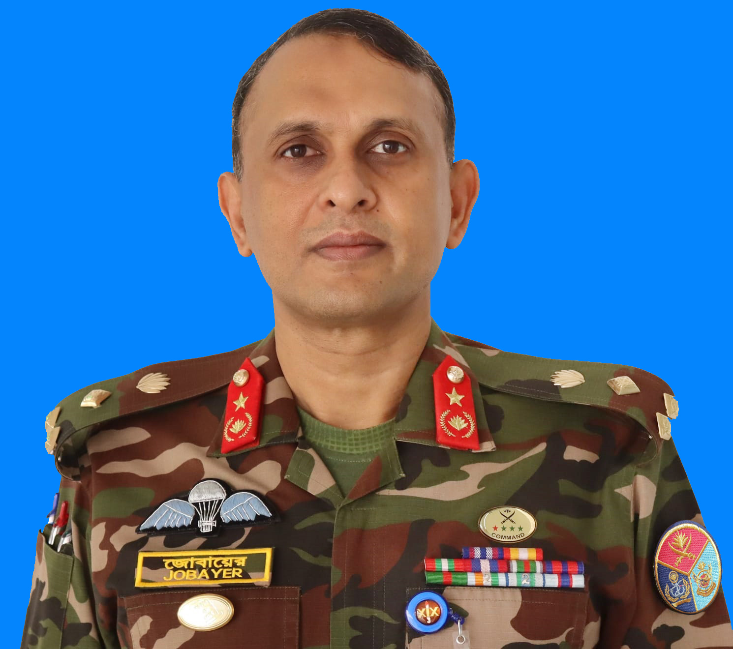
ব্রিগেডিয়ার জেনারেল নুর-এ-আলম মোহাম্মদ যোবায়ের সারোয়ার, এনডিসি, পিএসসি ...
গুরুত্বপূর্ণ লিংক
- SOB Data Services
- অভিযোগ প্রতিকার ব্যবস্থা
- অর্থ বিভাগ
- SOB Continuously Operating Reference Station (CORS)
- এনএসডিআই প্রজেক্ট
- এনএসডিআই প্রজেক্ট পোর্টাল
- জিওডেটিক কন্ট্রোল পয়েন্ট সমূহ
পরিদর্শক গণনা

জাতীয় সংগীত

সামাজিক যোগাযোগ
ইনোভেশন কর্নার
জরুরি হেল্পলাইন নম্বর
